خانه
/
بلاگ
/
آرشیو بلاگ ماه های قدیمی
/
Roads across the Treasure Coast that tend to flood during heavy rain
Roads across the Treasure Coast that tend to flood during heavy rain

Staff rport
Published 7:00 AM EDT Aug 1, 2020
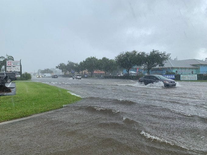
Several roads on the Treasure Coast are vulnerable to flooding during heavy rain storms. Here are some to be watching out for as you are driving.
St. Lucie County
Fort Pierce
- U.S. 1 in north Fort Pierce
- Bell Avenue
- Kings Highway in Lakewood Park
- Easy Street
- Palmetto Avenue in White City
- Suson Lane in Holiday Pines
- Indian Bend Lane in Holiday Pines
- Sweetwater Drive (private road)
- Isola Bella Drive (private road)
- Indian River Estates, east of U.S. 1 between Midway Road and Easy Street.
- South 25th Street at Cortez Boulevard
Port St. Lucie
- Neighborhood around Oak Hammock School
- Airoso Boulevard in the middle of the city
Martin County
Hobe Sound
- Dixie Highway from Bridge Road to Pettway Street
- U.S. 1 from Bridge Road to Pettway Street
- Crossrip Street at Hobe Terrace
- Dixie Highway at Saturn Avenue
Stuart
- Portions of Kanner Highway between Salerno and Monterey roads
- Portions of U.S. 1 from North River Shores (just north of the Roosevelt Bridge) to Jensen Beach Boulevard
- Federal Highway (U.S. 1) at Baker Road
- Dixie Highway from Wright Boulevard to Fern Street, including Palm Street, Australian Street, Oleander Street and Poinsettia Street
- Federal Highway at Seabranch Boulevard
Palm City
- Sections of Murphy Road
Jensen Beach
- Jensen Beach Boulevard from Goldenrod to Savannah roads
Indian River County
- Except for some localized areas, roads in Indian River County are expected to experience little sustained flooding during heavy downpours, according to law enforcement and public officials.
- Drainage and roads were improved after back-to-back hurricanes in 2004.
- State Road 60 is a four-laned evacuation route to the Florida Turnpike and central Florida.
- Barber Street in central Sebastian has been upgraded to provide easier access to four-laned County Road 512 that extends west to Interstate 95.
Here are flood-prone places to watch for:
Vero Beach
- Low lying neighborhoods.
- 2100 block of Seventh Avenue at the entrance to the Miracle Mile Shopping Center.
- 10th Avenue, south of 20th Street and the Vero Beach Police Department.
Fellsmere
- Several intersections along New York Avenue between North Myrtle Street and North Broadway Street
- North Broadway Street north of County Road 512
- Cypress Street in the area of Fellsmere Elementary School.
For complete coverage during hurricane season, stick with TCPalm. You can support our local journalism by subscribing.
tinyurlis.gdclck.ruulvis.netshrtco.de
